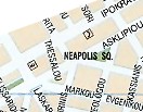
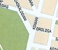
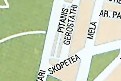
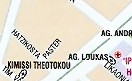
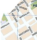
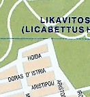
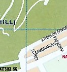
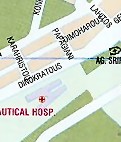
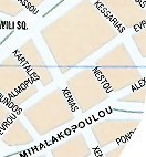
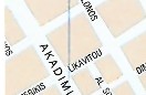
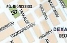
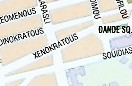
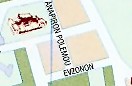
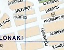
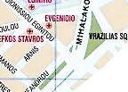
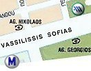
Map of Kolonaki, Lycabettus, Athens Concert Hall areas in Athens

South exit of the Ambelokipi Metro Station (Blue Line); click to view map of the area
Lycabettus open-air theatre; click to view pictures and links to concerts held in the theatre


AN

Lycabettus hill with St. George church on the top; click to view photos Athens Concert Hall ("Megaron"); click to view list of concerts, performances to be held here


     SG

Megaro Metro Station (Blue Line); click to view map of Athens metro
Benaki Museum The Byzantine & Christian Museum of Athens; click to view picture of it Goulandris Museum of Cycladic & Ancient Greek Art Evangelismos Metro Station (Blue Line); click to view map of Athens Metro The War Museum of Greece Athens National Art Gallery; click to view a photograph of it

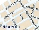
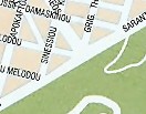
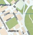
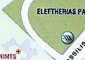
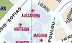
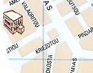
On the above part of the Map of Athens, one may see Kolonaki area & the Lycabettus Hill (with the Lycabettus open air theatre) and locate the Athens Concert Hall as well as major museums of Athens.
Sign indicating the location of Athens Museums on the Athens map= Museum, Sign indicating the location of Athens Metro Stations on the Athens map = Athens Metro Station


Hotels in this area of Athens:

(SG) St. George Lycabettus Hotel - Deluxe (5*) class
(AN) Andromeda Hotel & Apartments - Deluxe (5*) class


Map of Omonia, Psiri areas in Athens Map of Mousseio area in Athens  Map of Syntagma area, Athens Maps of neighbouring areas in Athens; click on the arrows - Athens city map, other areas


Close this window